Sciences & Technology
Black Saturday: Have we fixed a flawed system?

Bushfire planning around our expanding urban environments is crucial for dealing with Australia’s increasing bushfire risk
Published 5 February 2019
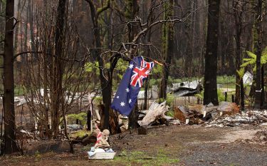
The aftermath of the 2009 Black Saturday fires underscored the importance of how we design our settlements as a key factor in dealing with Australia’s increasing bushfire risk. While significant advances have been made since 2009 in urban planning and building, many challenges remain.
Bushfire planning and building controls improve the integrity of structures in their landscapes and how they perform in fire conditions.
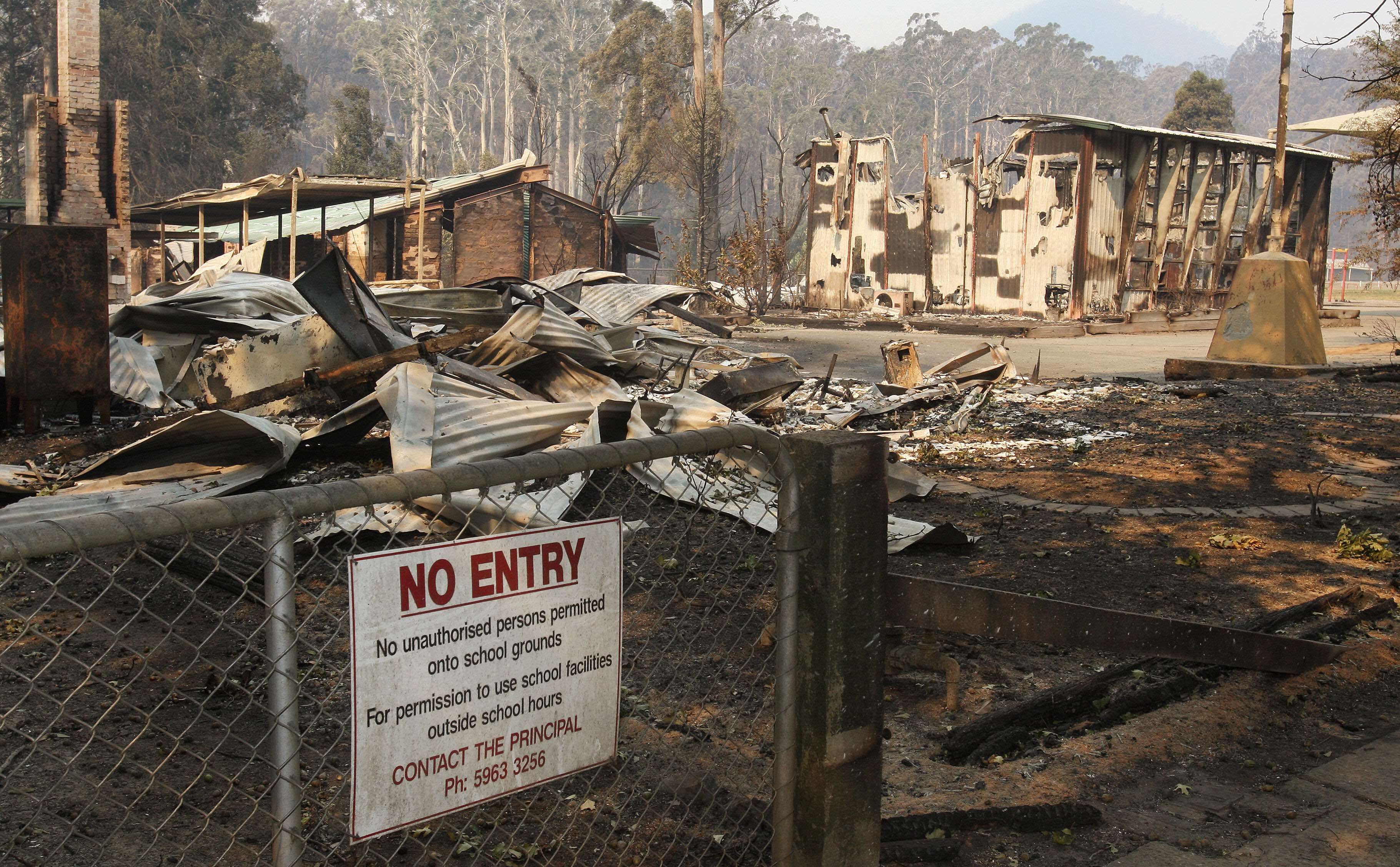
This includes specifying standards for less flammable materials, windows that won’t fail when exposed to heat, prevention of ember entry into structures, separation of buildings from vegetation, access for firefighting and water supplies, as well as appropriate design of gardens with any required clearing of vegetation.
So, what steps have been taken since 2009 when it comes to bushfire planning and our expanding population?
Our research based on the 2009 fires show that houses built to comply with bushfire regulations had at least four times higher survival rates than houses built without having to meet these standards.

Sciences & Technology
Black Saturday: Have we fixed a flawed system?
While the sample was skewed as a result of the tendency for bushfire controls to be applied to newer structures, along with the sample being from significantly riskier than normal areas, it demonstrates that improving key characteristics of buildings and their immediate surrounds makes a difference.
Put simply, houses that meet bushfire regulations may still burn down, but this is at a significantly lower rate. Consider the analogy of safety standards in cars and the significant improvements to death and injury rate that have been achieved over time.
Prior to the 2009 fires, planning and building bushfire controls systems were applied only to small parts of Victoria, this was mainly because, at the time, there was limited mapping of bushfire risk, or its translation into planning schemes.
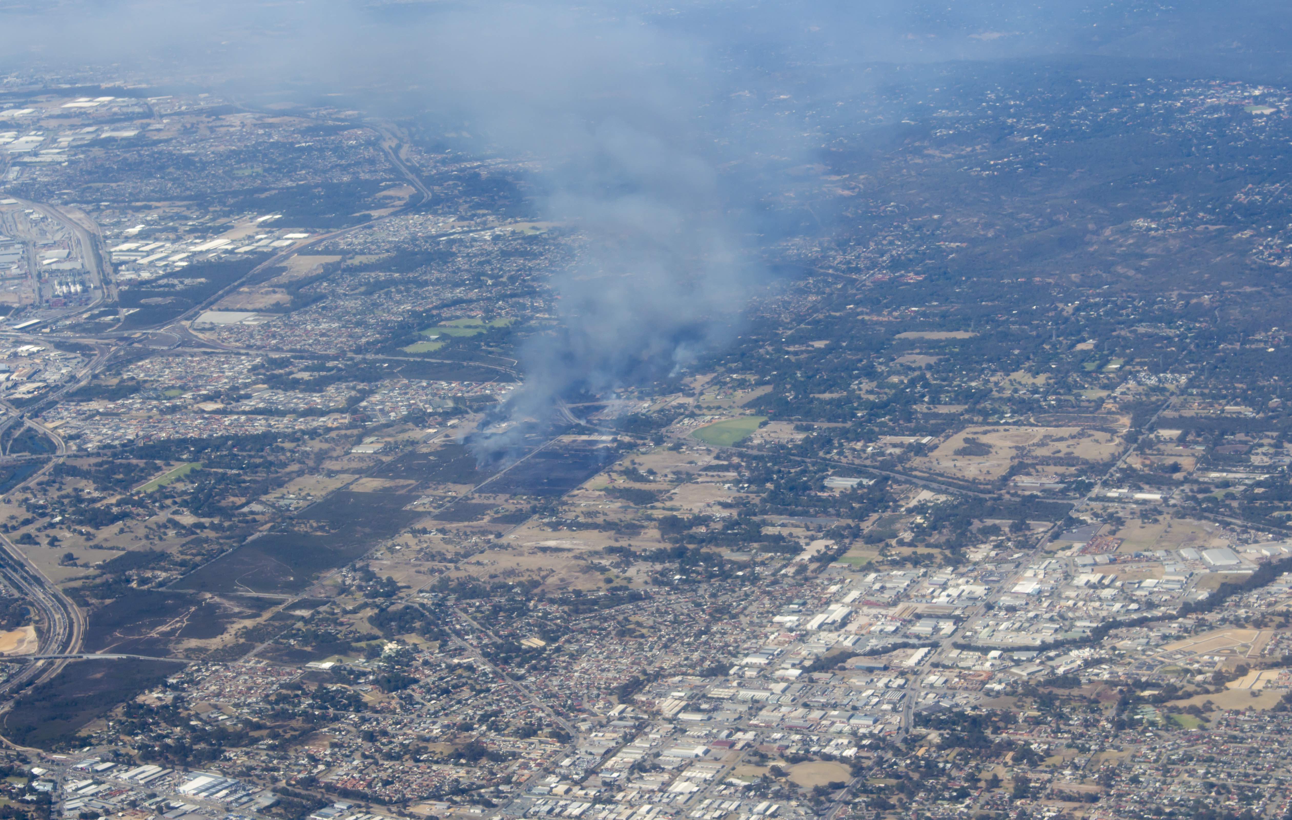
Since the mapping only included some areas, bushfire planning and building controls weren’t applied to many locations we now consider to be at risk.
Since 2009 careful and comprehensive mapping has been undertaken. The entire state has been assessed and new building in many areas must now be built to withstand bushfires.
In association with improved mapping, the planning system now more fully integrates building controls with urban planning controls.

Environment
Bushfires: have you treated your risks?
Accordingly, the fire risk characteristics of buildings are now understood in the context of the wider landscape from which a fire might approach, the characteristics of an urban area’s inter-relation with vegetation, and how that building is sited on a lot and in a garden.
Embers can be blown forwards from bushfires, sometimes kilometres in advance. And these embers can start new fires unpredictably.
Combined with winds, embers can enter structures through gaps as small as just three millimetres and, if undetected, start fires in roof and wall cavities or under floors.
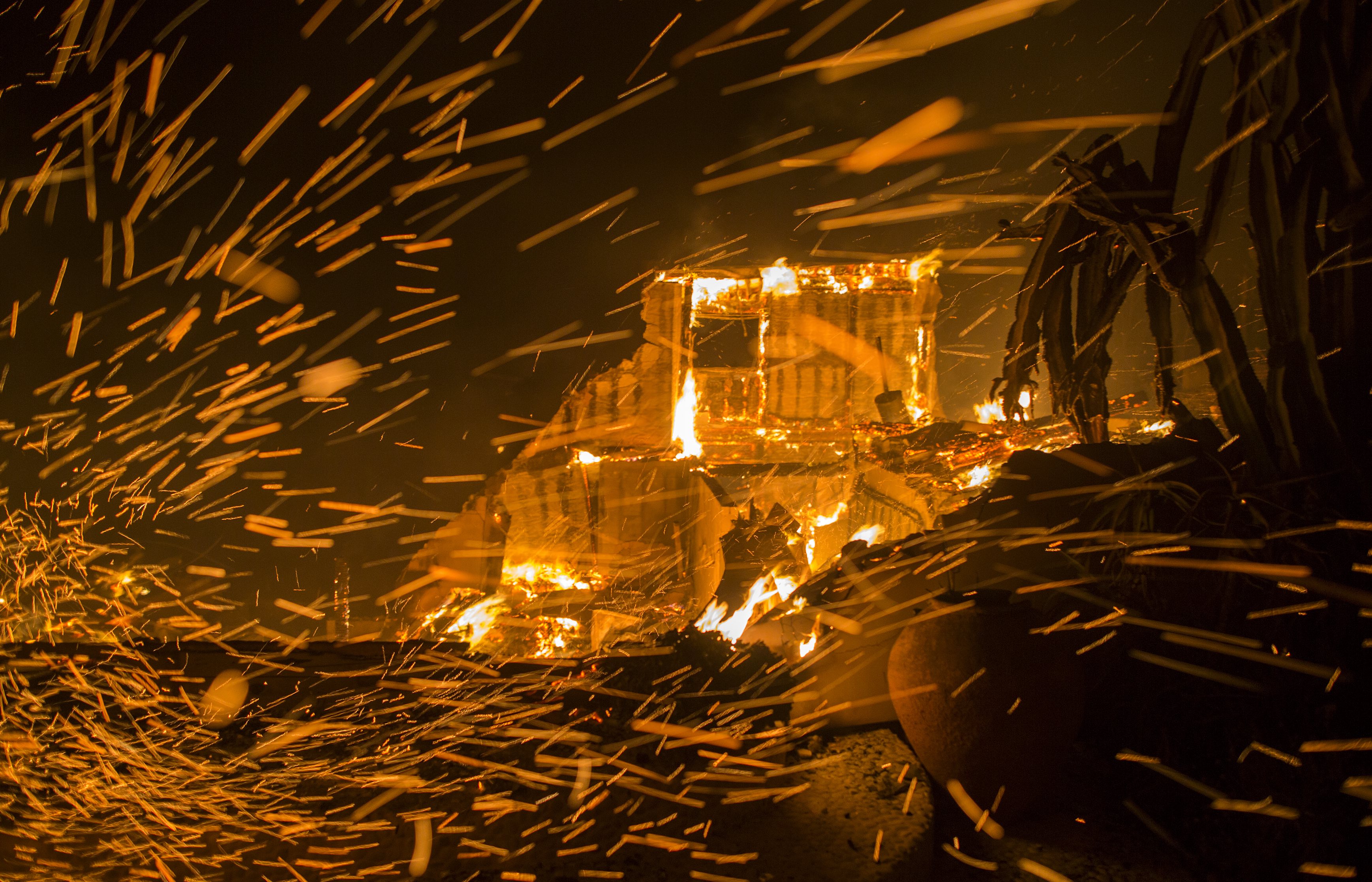
While scientific evidence already recognised the importance of ember attack, the planning and design system has now been improved to integrate this knowledge after 2009 to reduce the risks associated with embers entering houses during bushfires.
A key mechanism for fighting fires is for residents or fire services to have sufficient water to extinguish or prevent ignition.
Planning controls now specify the provision of static water supplies with appropriate couplings that considerably extend the abilities of residents to fight fires and for fire services to refill more easily.

Also crucial is access. It is now a key design requirement to maintain sufficient space around buildings, and on driveways or access roads, for standard fire vehicles to safely and efficiently gain access.
Previously, many assumed grasslands were low-threat landscapes. Indeed, previous iterations of bushfire planning controls didn’t categorise them as potentially risky.
This has now been amended to acknowledge that many structures have been lost resulting from grassland fires, which can be fast moving, high intensity, and unpredictable.
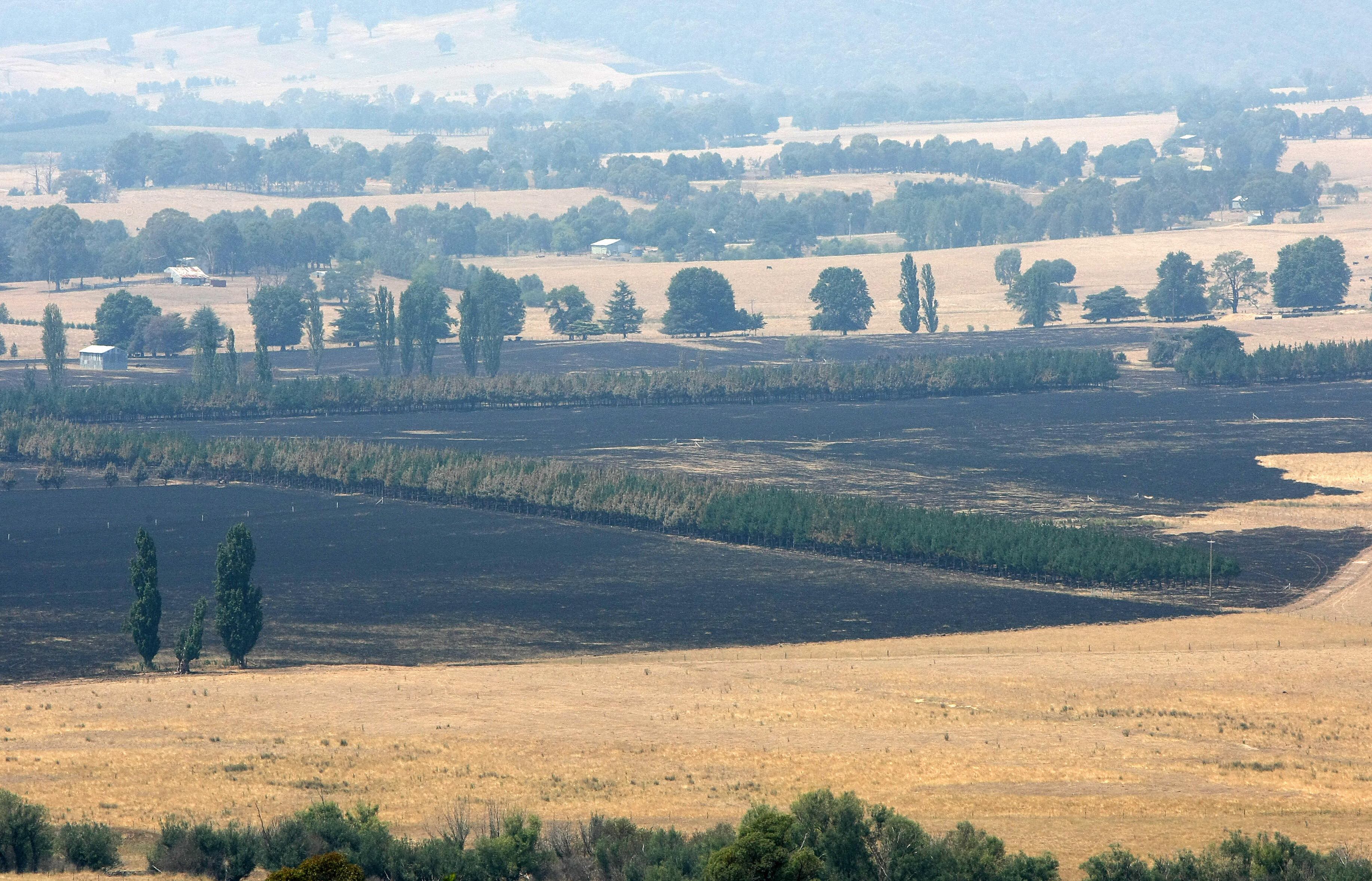
Community information campaigns have further re-enforced this message, targeting suburban-edge residents who have incorrectly assumed they are not at risk when in proximity to grasslands.
While the more widespread application of new bushfire planning and building controls is reducing bushfire risks over time as settlements grow and change, we still need to find ways to improve our older building stock in existing settlements. These were constructed prior to the new regulations and are often at high risk.
There are also still opportunities at the strategic planning level to ensure growth doesn’t occur in high-risk areas as settlements continue to sprawl. And this is combined with the challenges we continue to face as a result of the environmental damage caused by the clearing of vegetation to reduce bushfire risks.

Environment
Dousing the flames: The new normal
The loss of vegetation and habitat for native fauna associated with our large sprawling settlements threatens the important natural systems upon which we rely.
Finally, the planning and building system is largely silent regarding the long term higher-order impacts bushfires have upon lower socio-economic-status communities.
So while important improvements have been made in Australia to deal with bushfires, the ongoing pressure of population growth and suburban sprawl, combined climate change and more extreme fires, means we must continue to improve our bushfire planning and building regulations over time.
Banner Image: Getty Images