Sciences & Technology
A vital native bee highway can start in your own backyard


The rakali is an Australian marvel of urban adaptation. Our new Map of the Month shows where to find them around Melbourne and where they’re mysteriously missing


Published 10 August 2026
We like to think we know our neighbours. So, if you lived near a wild animal that swims like a platypus, attacks like a Tasmanian devil and eats with the table manners of an aristocrat, you’d know about it, right?
Meet the rakali (Hydromys chrysogaster) – Australia’s answer to the otter.
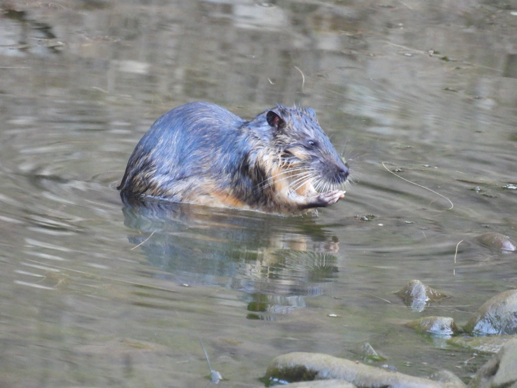 Rakali aren't overly fussy about the type of waterway they call home. Picture: Leslie35679 (iNaturalist)
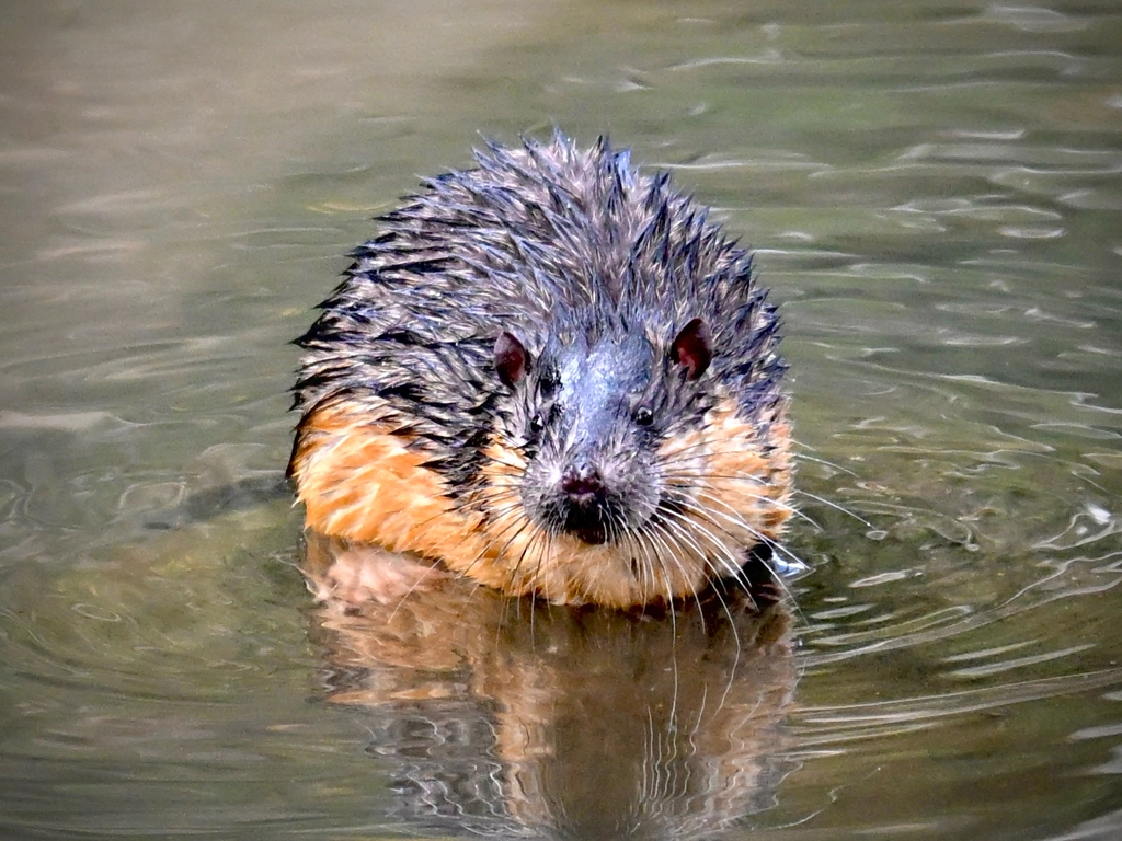 The rakali is the largest of Australia's native rodent species. Picture: Lataya (iNaturalist)
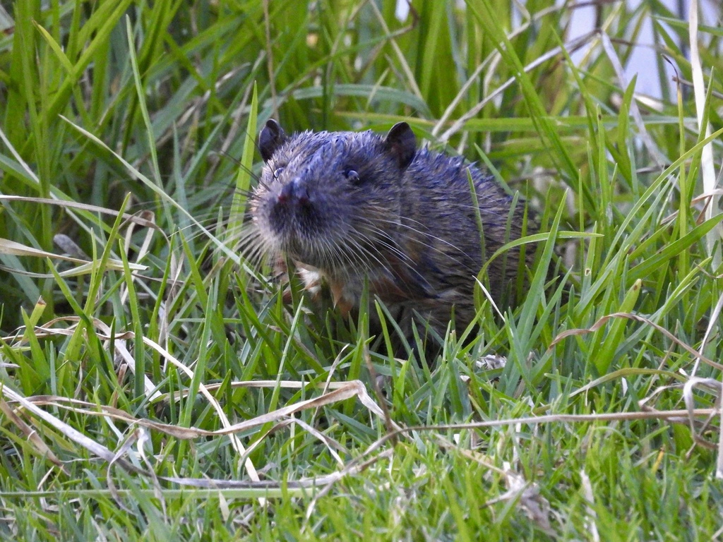 Rakali are an Australian marvel of urban adaptation. Picture: Greenhamburger (iNaturalist)
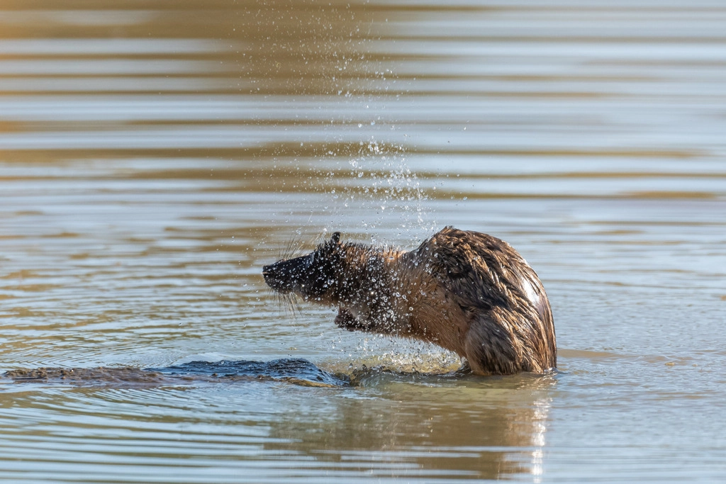 Their webbed feet make rakali well suited to waterways across the country. Picture: Debmetters (iNaturalist)
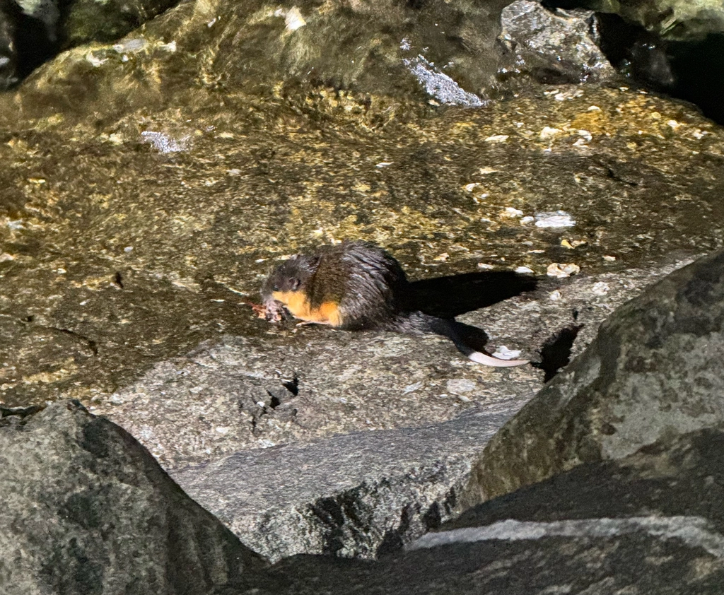 Piles of bones and shells on riverside rocks are a telltale sign of rakali activity. Picture: Menkara (iNaturalist)
1 / 5
Roughly possum-sized, this whiskered, water-loving mammal boasts chocolate-brown fur, strong webbed feet and a long white-tipped tail.
They are the largest of our more than 50 native rodent species and were previously known as the ‘water rat’, reframed in the 1990s as part of a campaign to stop people thinking it was just another introduced pest.
The word ‘rakali’ actually comes from the language of the Ngarrindjeri people, whose lands include the lower Murray river.
But rakali are not your average ‘rat’. They are supreme predators, primarily hunting for yabbies, mussels and fish, and have even been known to take down birds and turtles.
Despite all this, rakali know that being a predator doesn’t mean you have to be uncivilised. Once they’ve dispatched their prey, they drag their meal back to a flat rock or riverside log to eat – basically, they sit at a dining table.
Sciences & Technology
A vital native bee highway can start in your own backyard
Given they spend so much of their day in water, rakali are often spotted along waterways across the country, including in our most populated cities.
And Melbourne is no exception.
Our first map pulls together all the records of rakali across Greater Melbourne for the last 30 years using the Atlas of Living Australia, our foremost public biodiversity database.
There are a massive 746 rakali sightings in this data set, the visual clusters painting a clear picture of hot spots around the city’s many waterways.
But rakali don’t seem to be too fussy about the type of water they call home.
They’ve been seen not only in freshwater, but in concrete drains, artificial ponds, beaches, marinas and even fountains. This flexible approach to their habitat is probably why they’ve managed to do what few other mammals have done – survive in our cities.
In fact, our map shows that rakali sightings are more common in the built-up areas of the city than out in the forested edges.
Though this doesn’t necessarily mean there are more rakali in the city than in the babbling brooks of the forest – there might simply be more people around to see them.
Seafaring explorers famously used an illustration of a dragon to show sections of the ocean that had yet to be explored. The phrase ‘there, be dragons’ came to mean ‘we don’t know, because we haven’t looked yet’.
So, what about the gaps in our rakali map? Could ‘there, be rakali’?

Map of the Month
We checked if Melbourne really is a dog-friendly city
For example, there’s a big gap along Dandenong Creek around Wantirna and Glen Waverley, and in Moonee Ponds Creek around Parkville and Brunswick.
Over on the south-west side of Melbourne, there’s nothing in Wilmott Drive Drainage Reserve in Werribee and a big gap around the waterways of Springvale and Clayton in the southeast of the city.
Are these creeks, lakes and rivers so bad that even rakali turn up their whiskered noses? Is the water behind fences or hard to reach? Or are we simply not looking hard enough?
The interplay between human presence and rakali sightings also provides an interesting perspective.
We used anonymised active aggregated mobile phone network data from 2025 to find where areas of high human activity aligned with rakali sightings. The data captures an average of non-time stamped, anonymous movements within these neighbourhoods over the course of three hours.
Hold down shift (PC) or command (Mac) button while dragging your mouse to rotate the map.
Given many of the waterways where we find rakali are lined with cycling and walking paths, this gives us a good indication of where you might be more likely to encounter one on your daily commutes – and much like our first map, there are some puzzling gaps.
If you’re in areas like Williamstown, Coburg Lake or Gardiners Creek around Malvern, you’ve got a really high chance of spotting one.
Conversely, there's a high level of human activity in Rockbank and Wallan along Kororoit and Merri Creek and along the Bunyip River in Koo Wee Rup, but very few sightings in the data.
Eager for more, we asked the public to share their encounters with rakali – with delightful results.
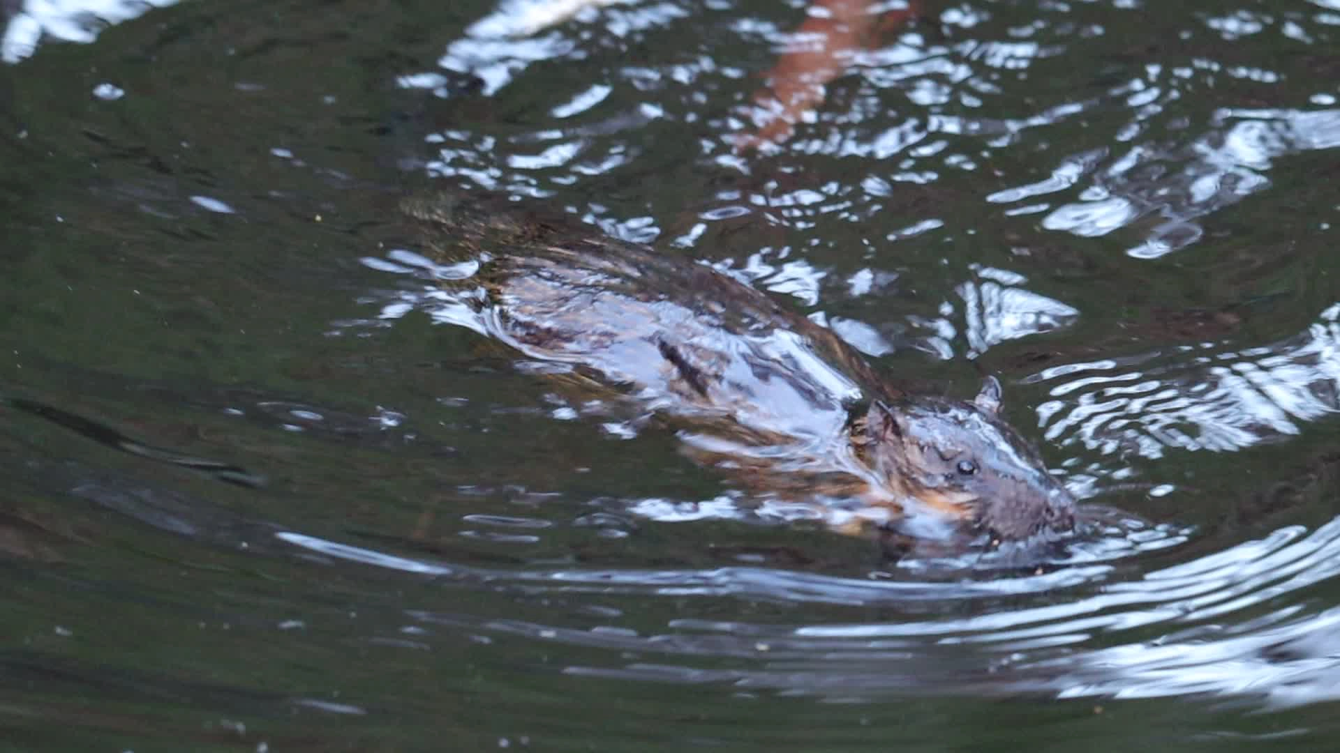
Almost 50 people sent in sightings around Melbourne. Many spotted the “furry splash” or adorable “doggy paddle” of a rakali swimming along the surface.
Unlucky anglers grumbled about stolen fish. Many spotted their distinct white tail tip flicking about like a flag above the water. Some were even spotted scampering on the rocks with the fairy penguins in St Kilda.
Others noticed the bones, shells and feathers stacked in neat piles on riverside rocks – the telltale leftovers of a rakali meal.
Most of the submissions came from rakali hotspots already on our map – this means there’s still plenty of gaps for the public to prove the data wrong.
You can contribute to the picture by submitting records to the Australian Platypus Conservancy (since rakali are the largest native mammal to share the platypus’ freshwater habitat, they record those sightings too) or you can use a citizen science platform like iNaturalist.
But remember – while textbooks often list them as nocturnal, urban rakali are almost as likely to be out during the day.
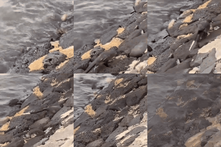 A distinct white tail tip can make rakali easy to spot. Video: Cory Young, creator of Rakali Awareness Day
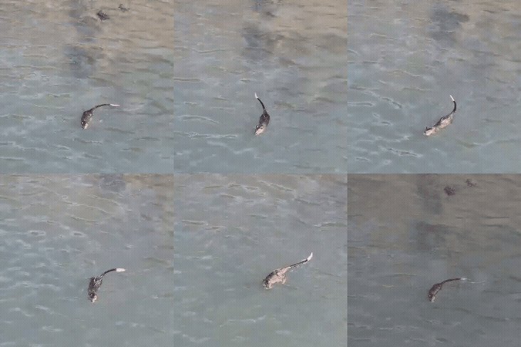 Many people often spot the "furry splash" of rakali in the water. Video: Santiago
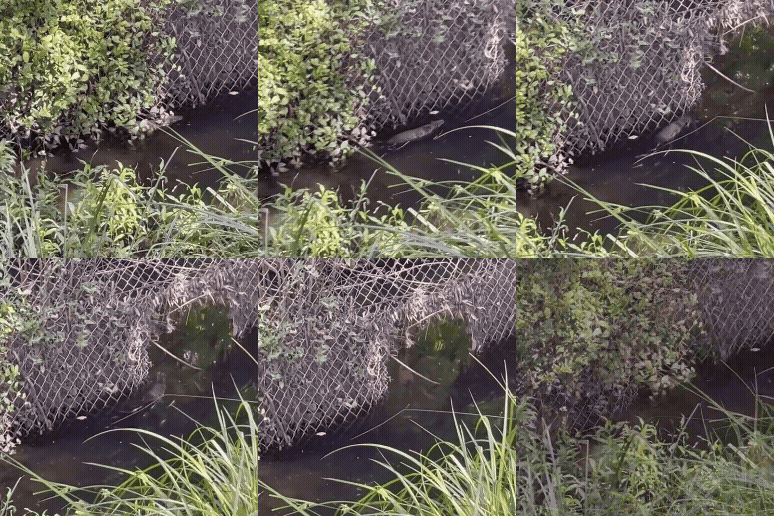 The places rakali are seen are often far from pristine. Video: Andrea from Frankston South
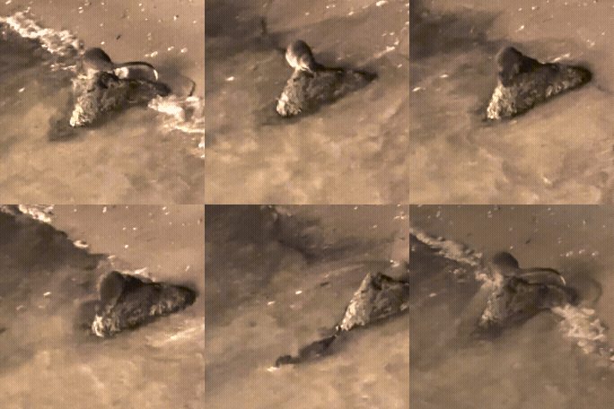 Fisherman often tell stories of rakali stealing their fish. Video: Davis from Canberra
1 / 4
The places people see rakali are often far from pristine – rocky edges, concrete drains, artificial lakes.
But just because a rakali can rifle through litter-traps to scavenge a tasty treat or ambush one of the city’s many invasive black rats, doesn’t mean they should have to.
We’d much prefer to see rakali plucking crayfish from a clean riverbed and foraging frogs from between the reeds rather than dodging floating plastic bags.
There are so many ways we can better care for our urban waterways and the wildlife that depend on them.
When the City of Melbourne’s floating wetland project reinstated natural vegetation and feeding platforms to the Birrarung-Yarra River, rakali were the first species to jump aboard.
And the things we do on land matter too.
Map of the Month
These maps tell us we need to cool our sweltering streets
Water sensitive urban designs like raingardens and bioswales help slow the flow of dirty stormwater into our rivers.
We can all do our bit by making sure litter ends up in the bin rather than our storm drain. A little can go a long way – and both rakali lovers and the rakali themselves will thank you for it.
Map of the Month is a project from the University of Melbourne (Melbourne Centre for Cities, Melbourne Data Analytics Platform and Pursuit) using maps to spark important policy conversations across metropolitan Melbourne. Academics, community leaders and government representatives from across Melbourne contribute to the maps and accompanying stories.
The maps were produced by Dr Emily Fitzgerald and Dr Noel Faux using data from Atlas of Living Australia, Vicmap Hydro and use of the National Collaborative Research Infrastructure Strategy (NCRIS)-enabled Australian Urban Research Infrastructure Network (AURIN) Digital Infrastructure to access DSpark data.
Thank you also to everyone who sent in their rakali stories, sightings and videos.