


Sciences & Technology
The fiery curse of conservation


The she-oaks no longer whisper across much of Australia. A 2000-year record from GunaiKurnai Country holds the answer to who shaped these native woodlands and what restoration is missing
Published 9 September 2026
In Australia, many Indigenous communities have connections and stories linked to the she-oak.
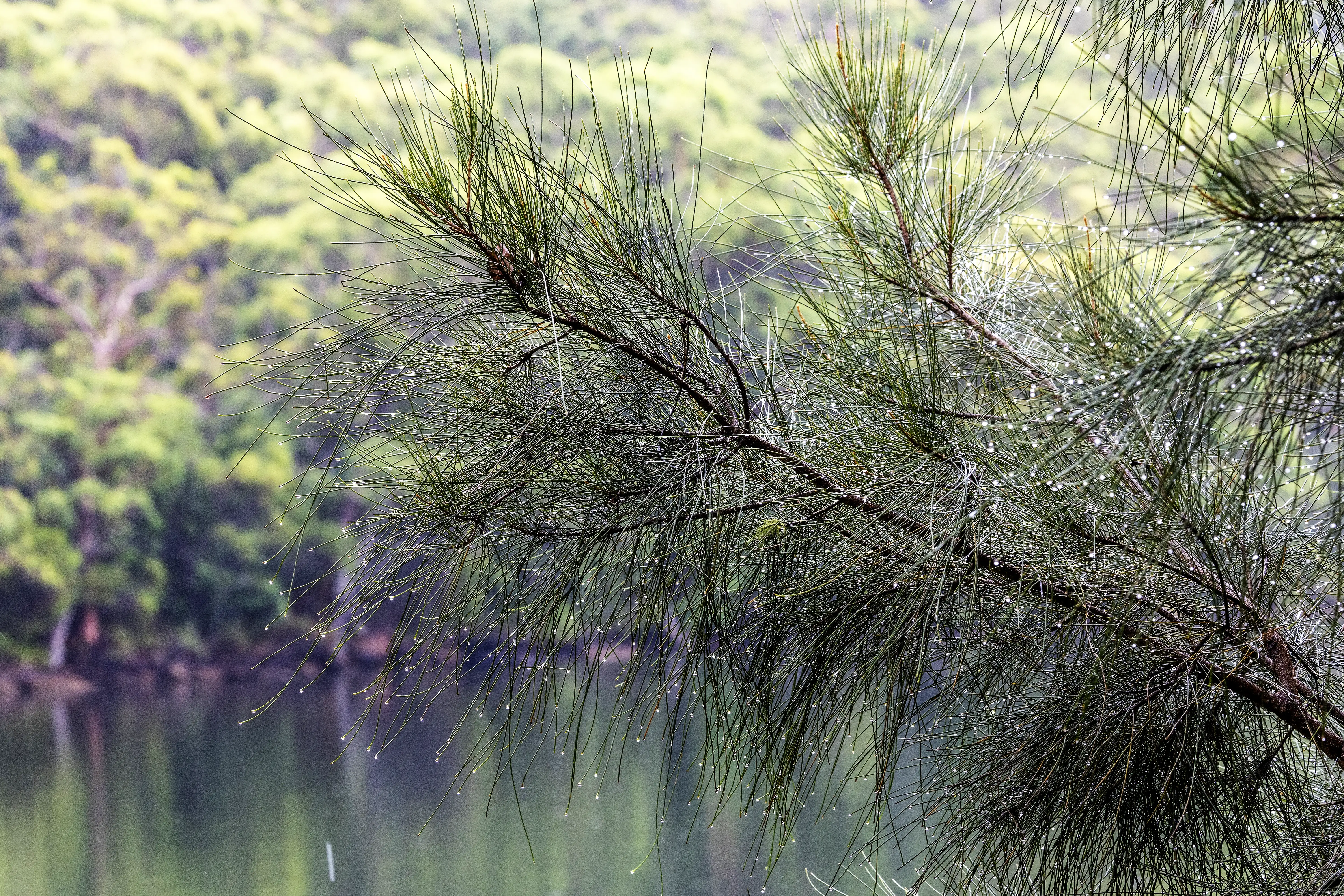
The she-oak (genus Casuarina and its relative Allocasuarina) may look like a conifer with its canopy drooping in soft, needle-like fronds.
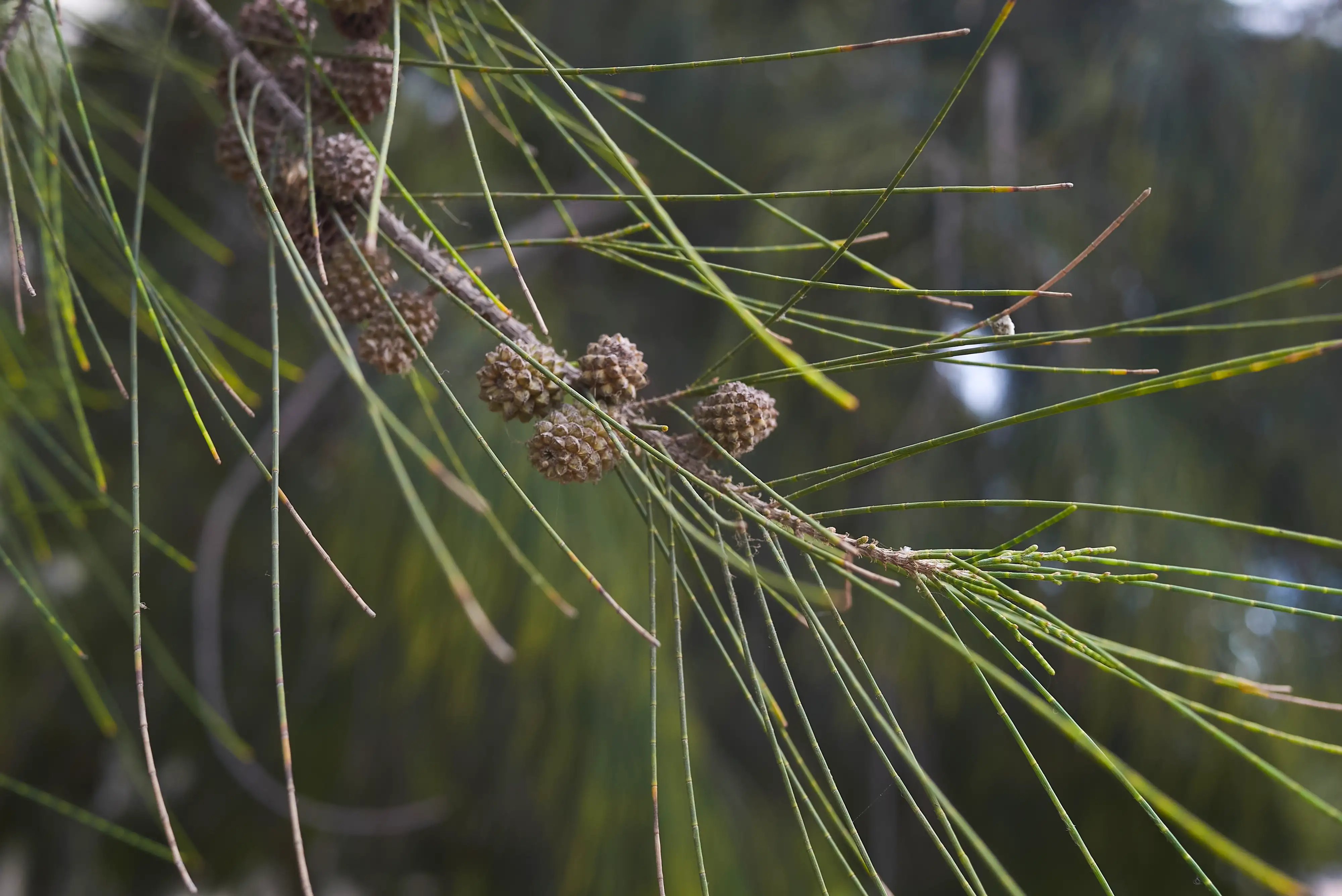
But these are jointed green branchlets that photosynthesise in place of true leaves. It's an adaptation for cutting water loss and part of a toughness that lets she-oaks thrive in harsh Australian conditions.
Wind-pollinated and fire-adapted, the she-oak produces small woody cones packed with winged seeds. Its timber is dense and reddish, which is what prompted early colonists to liken it to an oak, prizing its timber for firewood, kiln fuel and construction.
The she-oak is a tree that whispers.
As the wind moves through its needles, the tree releases a low, soft sigh, a sound closer to distant surf than rustling leaves.
She-oaks are also heroes of our ecosystem.
Sciences & Technology
The fiery curse of conservation
Bandicoots forage in their needle beds, Glossy Black-Cockatoos feed almost exclusively on the seeds inside their cones and they enrich the ground they grow in, hosting nitrogen-fixing bacteria in their roots.
For millennia, GunaiKurnai Aboriginal Elders maintained a she-oak woodland on their lands that stretch from the coastal and inland areas of Gippsland to the southern slopes of the Victorian Alps.
At Cloggs Cave, in East Gippsland in Victoria’s south-east, archaeologists uncovered she-oak artefacts used in rituals by Aboriginal medicine men and women known as mulla-mullung.
It’s a connection that points to both cultural and economic reasons for actively caring for she-oak woodlands.
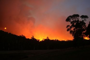
But she-oak is in major decline across Australia.
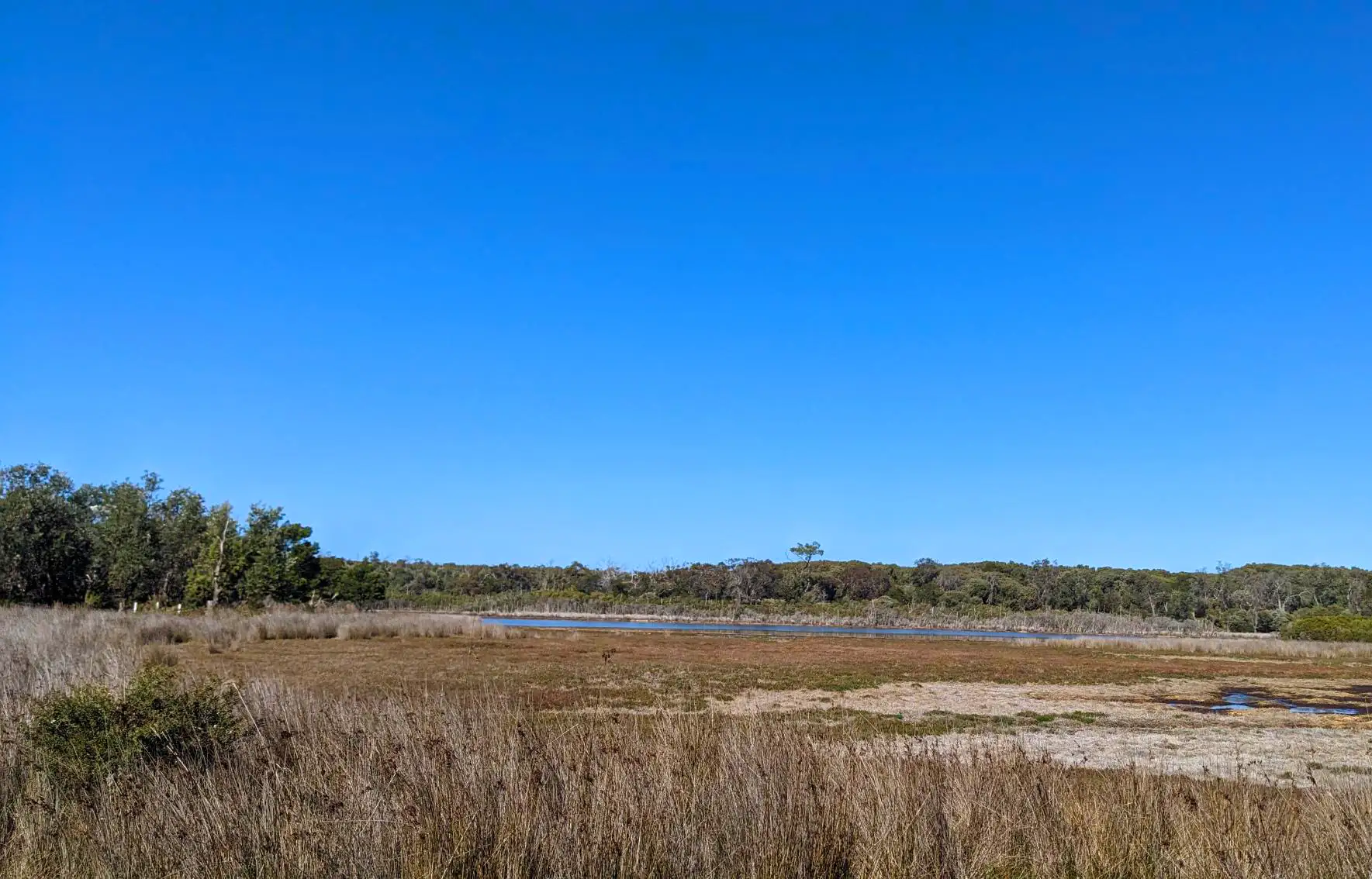
The landmark Australia State of the Environment 2021 report found she-oak forests and woodlands are the worst-hit major native vegetation group in the country, having lost more than 40 per cent of their pre-European range.
What's left is often a flammable tinderbox, a transformed landscape that shows why restoration needs to be grounded in Indigenous Knowledges.
The decline of she-oak woodlands highlights the urgency of effective restoration. But that restoration relies almost entirely on historical baselines, a picture of what grew where before the landscape changed.
The National Vegetation Information System (NVIS) first published in 2001, offers one. It models what Australia's vegetation probably looked like before 1750.
Sciences & Technology
Indigenous knowledge and the myth of ‘wilderness’
Those reconstructions are based mainly on climate, soils and topography, with the gaps filled by historical documents and expert knowledge.
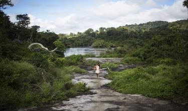
Ngarrywayt is a low peninsula reaching into the Gippsland Lakes in eastern Victoria.
The GunaiKurnai name means marsh fly, and this is Country of particular importance to them. European colonists renamed it Sperm Whale Head, now an internationally significant wetland system.
The restoration baselines tell one story about what grew here.
NVIS models Ngarrywayt as eucalyptus woodland and heathland, a eucalypt forest the NVIS treats as essentially unchanged. Early colonial records tell another story.
In 1849, the Lands Department mapped the peninsula as timbered with she-oak and banksia, broken by patches of “good grass”. By 1951, the same ground was mapped as eucalypt scrub.
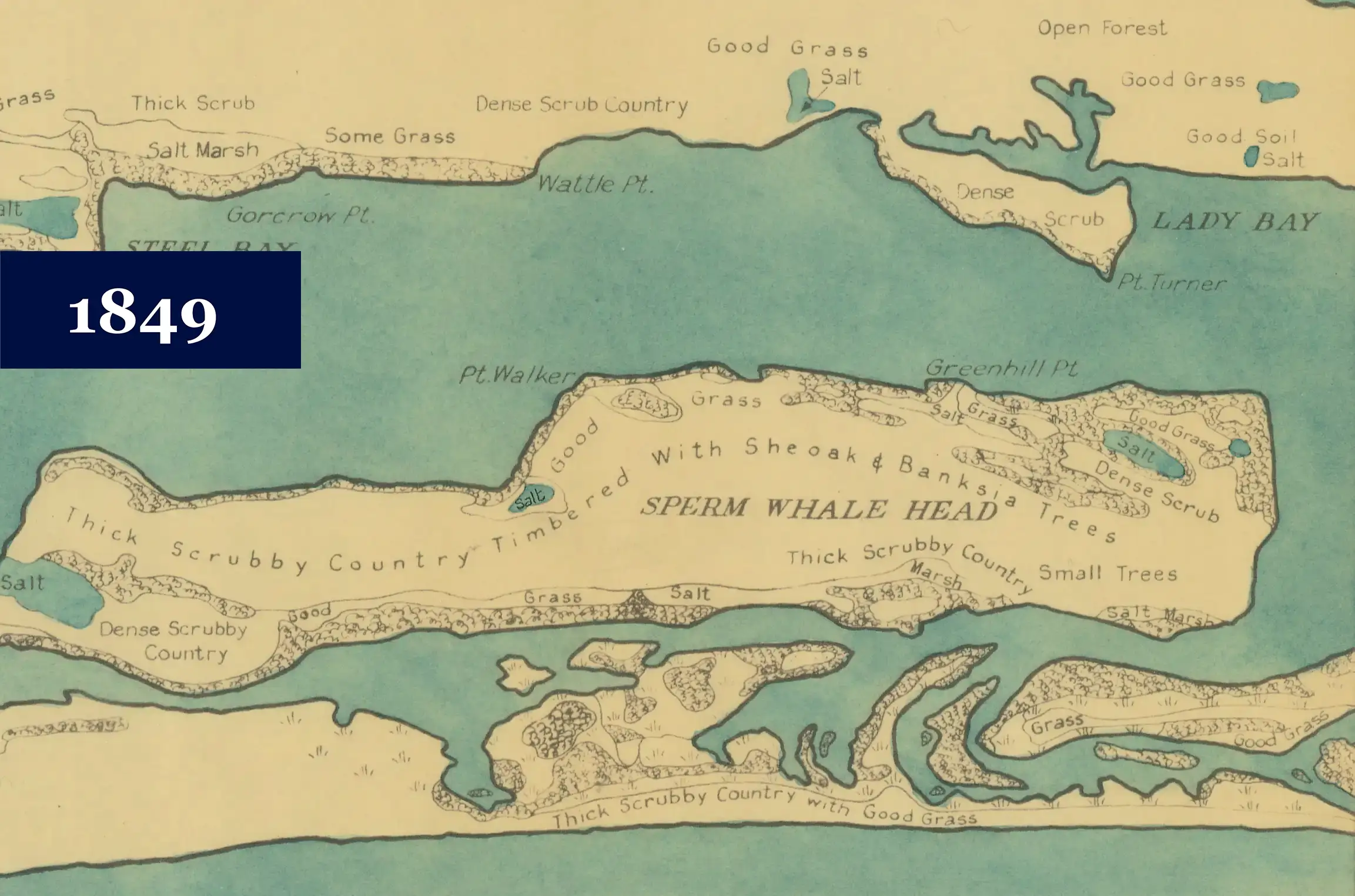
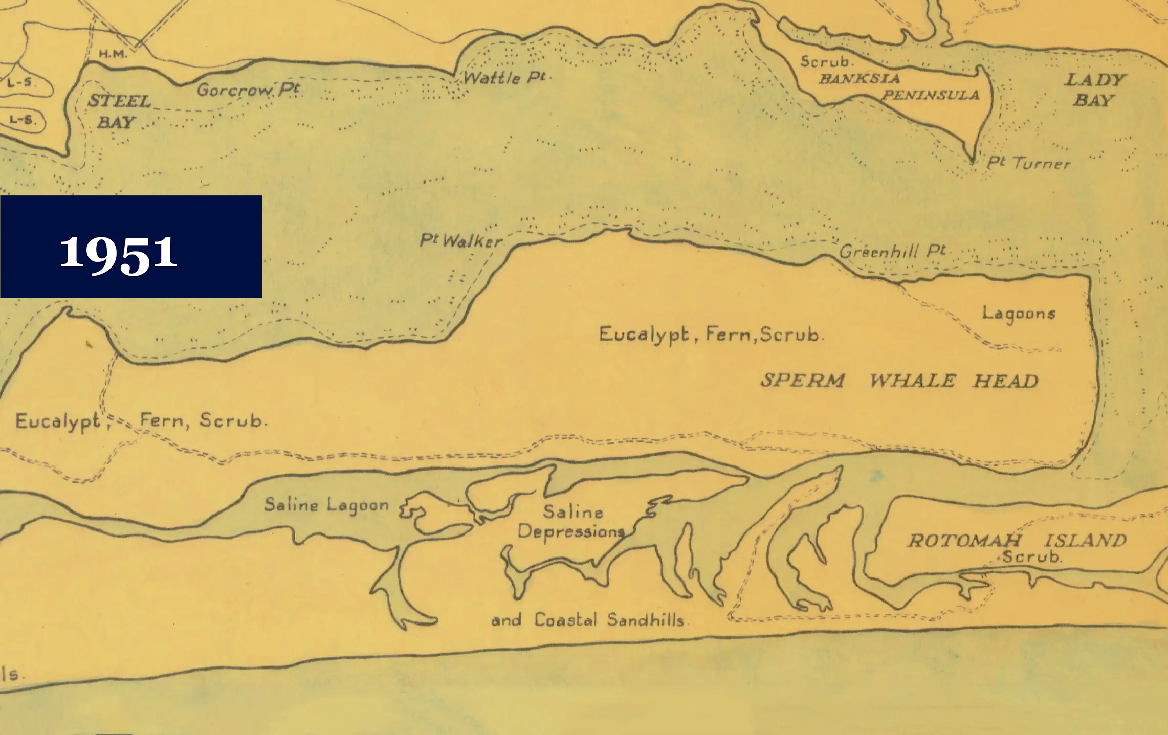
An 1849 map of Ngarrywayt with she-oaks and banksia, alongside patches of “good grass”. In 1951, the same ground was mapped with eucalypt scrub. Maps: State Library Victoria
There is a colonial dichotomy here.
Where NVIS sees a forest that has always been eucalypt, the historical maps tell us that she-oaks once stood here and have since been lost.
Buried in the wetlands themselves are an alternative type of historical record.
Sediment accumulates in fine layers year after year, preserving pollen (from vegetation) and charcoal (from fire).
Sediment cores are natural archives, keeping track of what grew and when it burned.
Every summer, we lead a University of Melbourne biogeography and fire ecology student field trip. In 2022, that work took us to Ngarrywayt with Uncle Russell Mullett, a GunaiKurnai Elder.
Sciences & Technology
Our Country, Our way
What our cores captured, published in Geographical Research, is a 2000-year story of Country, fire and vegetation change.
For more than two millennia, a she-oak grassy woodland held its ground through shifting climates and long dry spells.
Even when fire activity spiked and water levels fell for a century or more, the woodland stayed.
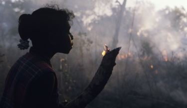
That resilience is supported by people caring for Country with fire, generation after generation.
Then, from the 1830s, the story shifts dramatically.
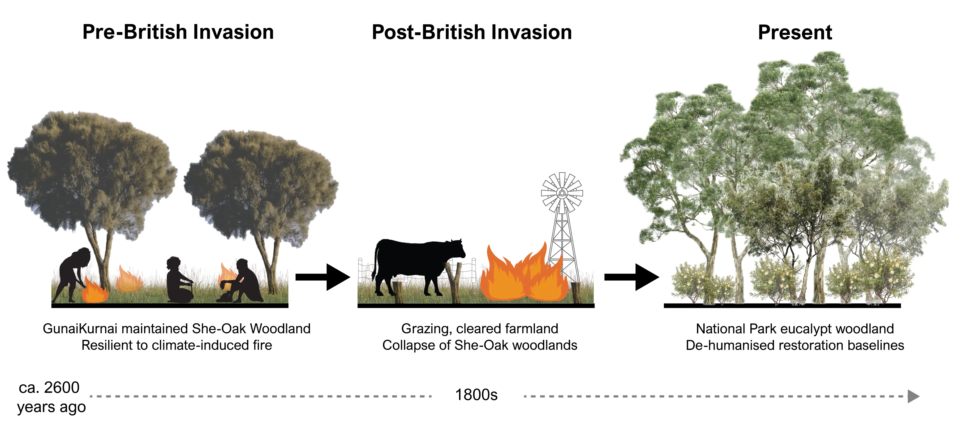
Fire activity spikes sharply, and within decades the she-oak woodland is gone.
Almost in step, salt-tolerant plants surge and freshwater species retreat, tracking the moment in 1889 when settler engineers cut an artificial channel to the sea at Lakes Entrance and turned the lake system saline.
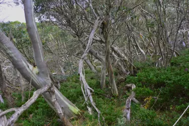
Two things had changed. GunaiKurnai fire stewardship was removed and European settler use of fire was different. Together it tipped Ngarrywayt towards flammable eucalypt forest, an ecological signature of colonial land use.
This human-environmental history is exactly what current restoration plans in Australia ignore.
Sciences & Technology
Bushfires are changing the ‘hidden’ understorey in our forests
NVIS's pre-1750 layer predicts eucalypt-dominated vegetation on Ngarrywayt. Our core, and the 1849 survey, say otherwise.
The gap between the official baseline and the evidence on the ground suggests NVIS doesn’t account for the presence of people on Country, or for their power to create, shape and maintain a landscape over centuries.
This matters because restoration targets, conservation priorities and land management decisions are drawn straight from datasets like NVIS.
If those datasets assume a 'natural' landscape, one without people, we risk restoring the wrong ecosystem and writing it into policy.
This is where palaeoecology can help.
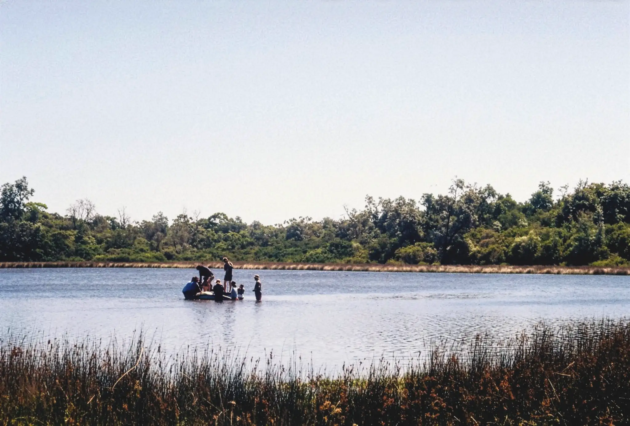
Our study was co-designed with the GunaiKurnai Land and Waters Aboriginal Corporation, to inform part of their stewardship of Country.
It offers evidence of what the pre-1750 ecosystem was and how it was kept that way.
Paired with Indigenous Knowledge, it points to a more truthful foundation for restoration, not only at Ngarrywayt but across the many Australian landscapes Indigenous people have shaped for thousands of years.