Lasering the lay of the lines

Industry nous and university research develop a new viable solution to monitoring power lines using lasers in the sky
Published 25 September 2016
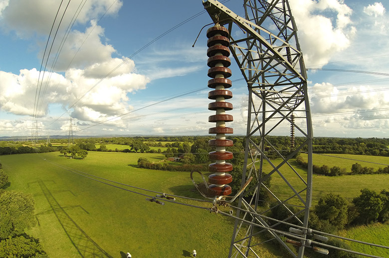
Clipping the roses or trimming the ivy can be a relaxing weekend diversion, but how about keeping thousands of kilometres of power lines clear of flammable long grass, bushes, logs and overhanging branches?
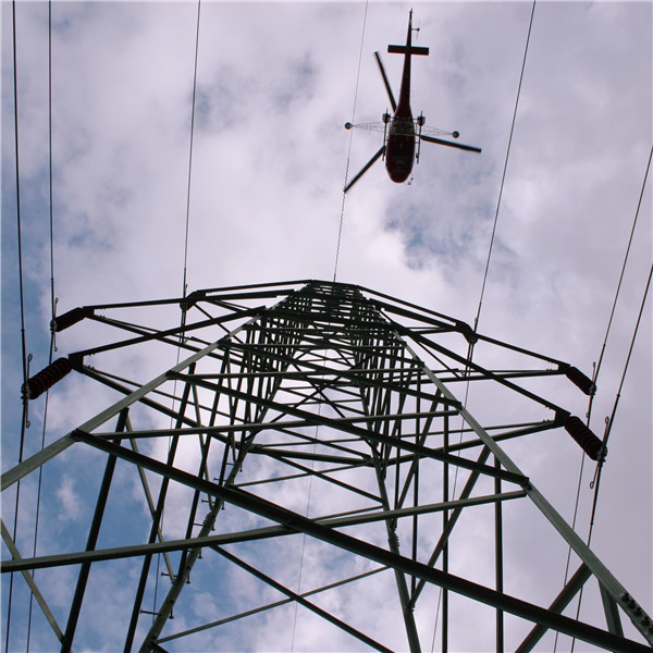
It is a painstaking task that faces utility operators the world over. It involves having to regularly send surveyors into often isolated areas to subjectively assess the conditions. But what if a simple helicopter or drone flight could tell you exactly where the problems were and will be, and when and where to send in the chainsaw teams?
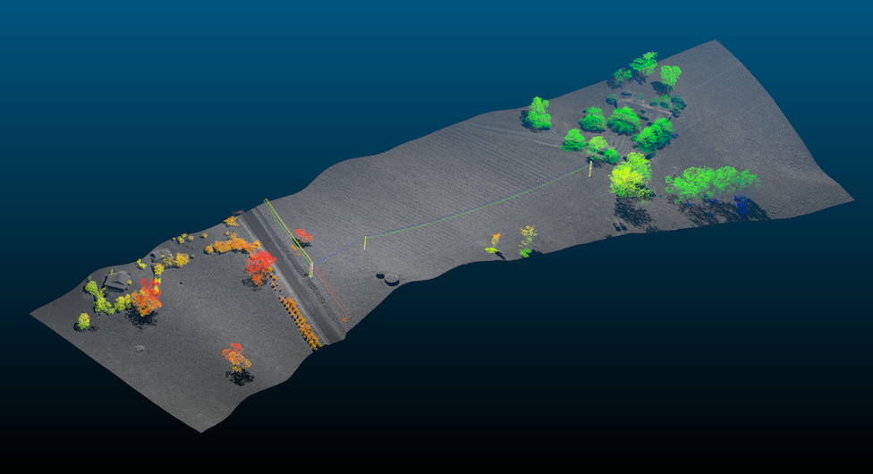
Commissioned by and in collaboration with advanced data analytics company Intelfuse, software engineers at the University of Melbourne have worked out a way to do just that. Together they have developed a novel computer platform that can process the billions of points of light recorded by lasers and interpret them to identify utility structures and vegetation, even down to the species of tree.

Using original algorithms and pattern recognition, computer scientists in the Melbourne School of Engineering and Intelfuse experts have created software that can effectively “see” what the laser records over wide areas.
Accurate snapshot
This means utility companies can quickly obtain an accurate snapshot of the condition of their power lines and the level of obstruction, as well as the potential danger posed to the lines, such as the threat of bushfires. By using laser beams that can cover wide areas both from the air or the ground, utility companies can now accurately gauge whether the bush is getting too close for comfort.
“When you have vegetation growing near power lines, and it gets close enough that if it caught fire it would pose a threat to the cables, then you have an issue,” says University of Melbourne’s director of eResearch and Professor of Applied Computing Systems, Richard Sinnott who led the university’s software implementation work. “So it is important to clear away vegetation that could be potential fuel in the event of a fire.”
Professor Sinnott says that right now power companies have no other viable way of monitoring their thousands of kilometres of overhead cable other than sending in regular survey teams to visually assess the risk posed by growing vegetation.
But the technology, to be marketed by Intelfuse as datafuse3D, has huge potential for monitoring any infrastructure for hazards, including railway lines and roads in isolated areas, which would be important for emergency services at times of high bush fire risk.
Using laser cameras for high resolution surveying, or so-called Light Detection and Ranging (LiDAR) technology, goes back to the 1960s. But the challenge in using it for the close monitoring required by utilities has always been how to interpret the massive amounts of data reflected back as points of light by the laser and identify the patterns that represent power poles, trees and branches. Professor Sinnott’s team and Intelfuse have effectively made LiDAR sensing a real eye in the sky.

“The naked eye can take in and interpret points of light easily. What we have done is write software that can automatically do that with the LiDAR data,” says Professor Sinnott.
The interpretative ability of the program is such that it can identify even what species of tree is growing near a power line. That is important when trying to predict the likely rate of growth and decide when action might need to be taken.
“The LiDAR data is the most accurate reflection of what is in a place at one time. It is geospatially correct,” he says.
Project a complex challenge
For Professor Sinnott and the team, it has been one of the most complex and difficult projects they have ever undertaken. But they now have a base system that they can continue to build on, and one that Intelfuse is in a position to immediately start commercialising. There is already interest from Australian and international power utilities.
“There are a lot of agencies and companies around the world that want this kind of capability for asset management because right now they have nothing,” Professor Sinnott says.
“It has been an interesting and challenging project, especially because it is a commercial one. Much academic work is normally focused on building a prototype to prove a concept and then writing a research paper on it. But in this project we have been building software for industry. Building something that people can actually use is much more difficult,” he says.

“The system is a first generation system that will have further iterations as utilities use and suggest new applications for the data. Most importantly we have shown that we can do it and that it works.”
Jeff Filip, Intelfuse general manager of business development, says the success of the project was founded on the company and university forming a joint team that combined experts from IT, engineering, 3D imaging and power utilities.
“There were long hours, lots of brainstorming and new concept development,” Mr Filip says. “The outcomes have been amazing, we’ve created the first cloud based automated processing solution for utilities where users can tour through virtual 3D vision of specific power lines, individual trees and risks on the network.”
Banner Image: Intelfuse
